Welcome to the Pima Association of Governments
School Search Map.
This site allows you to find the attendance areas for your public school district by entering your home address in the upper left corner. The map also shows non-public schools in your search area, along with contact information for all schools shown on the map.
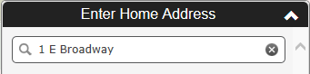
To get started, type in your home address and hit ENTER
You will then be shown a table for the school attendance areas that your home address falls within:
You may also click on any school on the map for more information:

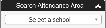
If you know a school name, you can see its attendance area by selecting it in the attendance area list.
If you encounter any problems with the site or have any comments, please provide them by clicking on the "Contact Us" button in the top right corner of the map.
Additional Resources:
Pima County’s Bicycle and Pedestrian Safety website
City of Tucson’s Safe Routes to School website
PAG’s Bicycle and Pedestrian Safety website
Regional Bicycle Network and Map website
To pan around the map, you can click and drag your mouse in the direction you want to pan. To zoom in on the map, double click on the area you want to zoom into, or, if you have a mouse wheel, you can use that to zoom in or out. Or use the Zoom In/Out control in the upper left corner of the map:

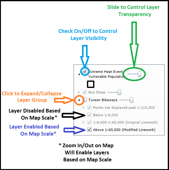
To turn layers on and off, click the checkbox next to the layer name in the Legend:
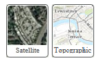
To change the basemap, click the Basemap Toggle in the upper right corner: